

Location intelligence for better public services
Local authorities have access to more data than ever before, but turning that information into action is often the challenge.
Disconnected systems, increasing service demand, budget pressures and complex reporting requirements can make it difficult to gain a complete understanding of communities, assets and operations.
NEC Geospatial Solutions helps councils bring together data from across the organisation and visualise it through a geographic lens, enabling teams to make informed decisions, improve service delivery and better target resources where they are needed most.
Whether you’re managing highways, planning applications, property assets, environmental services, housing, public health or emergency response, location intelligence provides the insight needed to deliver more effective and efficient services.
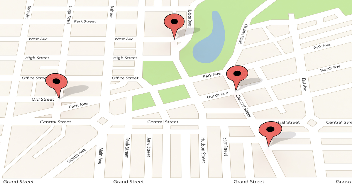

Why location matters in local government
Almost every local government service has a location element.
Understanding where people live, where services are delivered, where issues occur and how resources are deployed can reveal opportunities that would otherwise remain hidden within spreadsheets and disconnected databases.
By combining mapping, operational data and real-time information, councils can:
- Gain a single view of services, assets and communities
- Identify trends, risks and emerging issues earlier
- Improve planning and resource allocation
- Support evidence-based decision making
- Reduce duplication across departments
- Enhance collaboration between teams and partner organisations
- Improve transparency and reporting
The result is better outcomes for residents and more efficient use of public resources.
Supporting the challenges facing local government today
With growing demand and continued financial pressure, councils need better insight into where resources will have the greatest impact.
Geospatial technology helps decision-makers understand service demand, identify areas of priority and target interventions more effectively.
Managing assets and infrastructure
From highways and street lighting to public buildings and green spaces, councils are responsible for extensive asset portfolios. Geospatial solutions provide a clear view of asset condition, location and risk, helping organisations prioritise maintenance, plan investment and maximise the value of public assets.
Supporting planning and development
Location intelligence enables planning teams to assess development opportunities, understand environmental constraints and make better-informed planning decisions. By visualising data within a geographic context, councils can support greater transparency and more efficient planning processes
Building more resilient and sustainable communities
As local authorities respond to climate change and environmental challenges, understanding how risks vary across locations becomes increasingly important. Geospatial insight can help organisations identify vulnerable areas, support sustainability initiatives and plan more effectively for future resilience.
Improving community wellbeing and public services
Many councils are using location intelligence to better understand population needs, identify vulnerable groups and target services where they will deliver the greatest benefit. This helps create more joined-up approaches across public health, social care, community safety and wider local government services.
Supporting housing and neighbourhood services
For housing teams, geospatial data can provide valuable insight into property assets, neighbourhood conditions and resident outcomes. It can support everything from asset management and repairs planning through to damp and mould management, resident engagement and informed decision-making around Awaab’s Law compliance.
Turning data into action
The challenge for local authorities is rarely a lack of data. The challenge is transforming data into meaningful insight.
NEC Geospatial Solutions provides a single view of information from across the organisation, helping teams identify trends, understand risks and make more informed decisions. By combining location intelligence with operational data, councils can move from reacting to issues after they arise to proactively planning and delivering services.Tr
The challenge for local authorities is rarely a lack of data. The challenge is transforming data into meaningful insight.
NEC Geospatial Solutions provides a single view of information from across the organisation, helping teams identify trends, understand risks and make more informed decisions. By combining location intelligence with operational data, councils can move from reacting to issues after they arise to proactively planning and delivering services.
A connected approach to local government
Geospatial intelligence becomes even more powerful when combined with wider local government systems and services.
As part of NEC Software Solutions, our geospatial capabilities can support and complement services across housing, environmental health, asset management, community safety, citizen engagement and digital transformation programmes. This helps create a more connected understanding of people, places and services across the organisation.





Book a demo
Discover how NEC Geospatial Solutions can help your organisation connect data, improve decision-making and deliver better outcomes for communities.