

Location intelligence for safer, more resilient communities
Public safety organisations have access to vast amounts of operational, demographic and geographic data. The challenge is turning that information into insight that can support faster decisions, better resource planning and more effective responses.
NEC Geospatial Solutions helps police, fire, ambulance and other emergency services bring together data from across their organisation and view it through a geographic lens. By connecting location intelligence with operational information, organisations can understand demand, assess risk, optimise resources and make better-informed decisions.
From emergency response and control room operations to risk analysis, demand modelling and strategic planning, geospatial intelligence helps public safety organisations understand not just what is happening, but where it is happening and what that means for their communities.
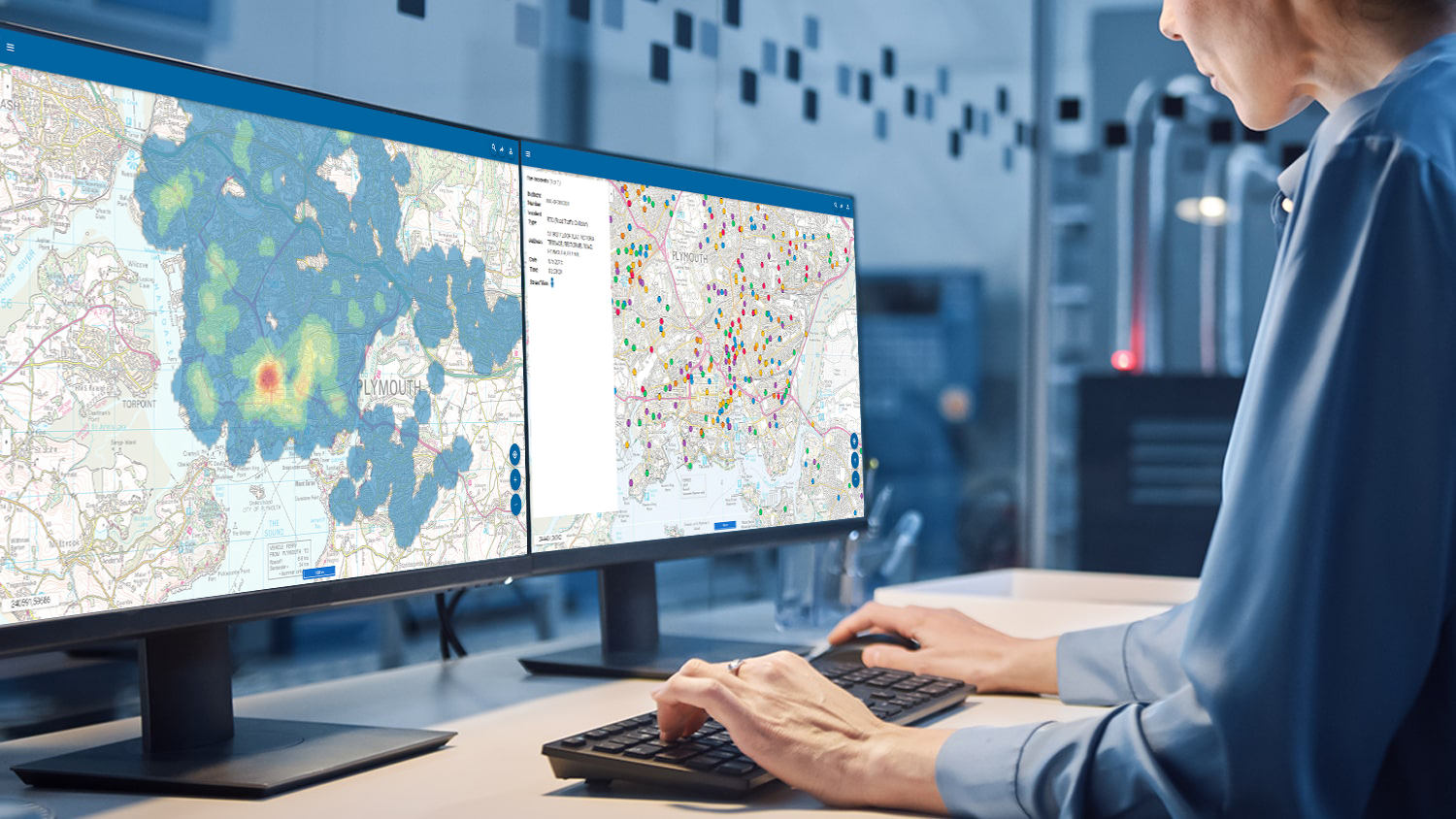
Why location matters in public safety
Public safety organisations need a clear view of what is happening across the communities they serve. Bringing operational data and location intelligence together makes it easier to identify patterns, understand demand and see where resources can make the greatest difference.
NEC’s geospatial solutions give teams the insight they need to:
- Build a clearer picture of demand, risk and resources
- Identify patterns, hotspots and emerging threats
- Improve the allocation and positioning of operational resources
- Model the impact of changes to demand, staffing and service provision
- Support faster, evidence-based decision making
- Improve situational awareness across control rooms and operational teams
- Strengthen collaboration between emergency services and partner organisations
- Plan more effectively for major incidents and changing community needs
From day-to-day operational decisions to long-term strategic planning, location-based insight helps public safety organisations understand their communities, anticipate challenges and focus their resources where they are needed most.
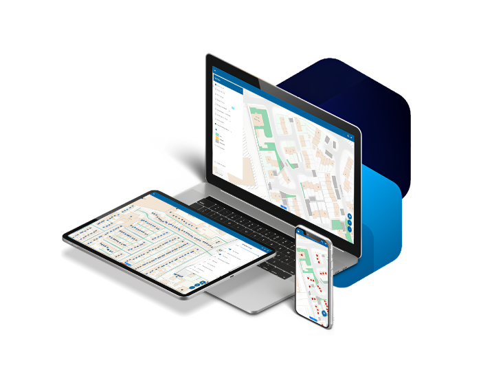
Supporting the challenges facing public safety today
Emergency services are facing changing patterns of demand, increasing complexity and continued pressure on resources.
Geospatial technology helps organisations understand where demand is coming from, identify hotspots and model how different deployment strategies could affect operational performance.
Improving emergency response
Location intelligence gives control rooms and operational teams a clearer view of incidents, resources and surrounding conditions. By connecting incident, address and routing data, organisations can support faster response and more informed deployment decisions.
Understanding risk and supporting prevention
Geospatial insight helps public safety organisations identify where risks are concentrated and how they change over time. This enables teams to target prevention, prioritise activity and build a stronger understanding of the communities they serve.
Optimising resources and operational cover
Understanding demand, resource locations and travel times helps organisations make better use of their available resources. Geospatial modelling can also test different deployment scenarios and support decisions around operational cover.
Preparing for major incidents and emerging risks
A shared geographic view helps organisations understand vulnerable areas, critical infrastructure, access routes and other factors that can influence an emergency response. This supports effective planning, coordination and preparedness for a range of scenarios.
Supporting safer, more resilient communities
Combining geographic, demographic and incident data helps organisations understand how demand and risk vary across different communities. This insight supports targeted prevention, partnership working and longer-term planning for safer, more resilient communities.
Connected intelligence for public safety
 Integrated systems
Real-time information flow
Actionable operational insight
Collaborate across agencies
Consistent, trusted data
Scalable and future-ready
Integrated systems
Real-time information flow
Actionable operational insight
Collaborate across agencies
Consistent, trusted data
Scalable and future-ready
TALK TO OUR TEAM
See how NEC Geospatial Solutions can help you understand demand, identify risk, optimise resources and improve operational decision-making.
Insights
West Mercia Police chooses NEC for new operational policing platform

 News
News
NEC Health announced as partners of the HSJ Summit 2026
 Articles
Managing growing demand for Blue Badge services
 Articles
How clean is your database?
 Articles
Awaab’s Law: the biggest risk is not your technology, but the gaps between it
 News
News
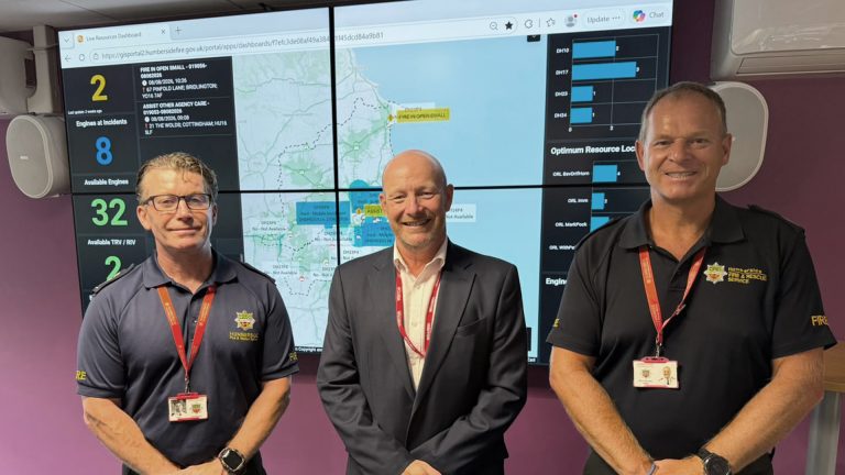
Humberside Fire and Rescue Service go live with a new, hosted Command, Control and Integrated Communication System
 Articles
Why NEC Housing will drive major business change at A2Dominion
 Articles
Awaab’s Law Phase 2: Moving beyond damp and mould
 Articles
Awaab’s Law: You may already have the tools you need
 Articles