
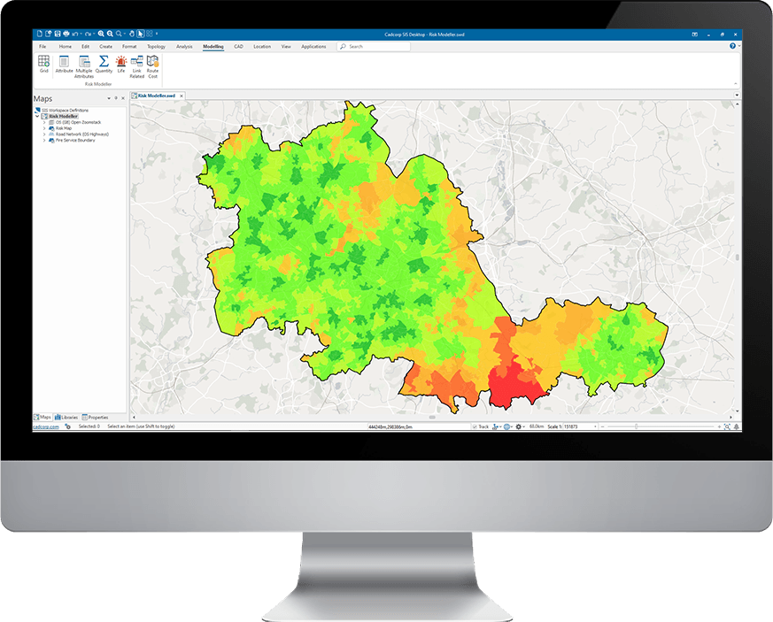
Aggregate a range of risk factors to generate a combined risk map
Risk Modeller provides analytical functionality for determining risk, by combining the effects of spatial and attribute data from a range of different sources.
To allow emergency services to easily re-run a risk model with updated data, settings from a previous model can be reloaded ensuring a consistent methodology.
Easy to use and understand
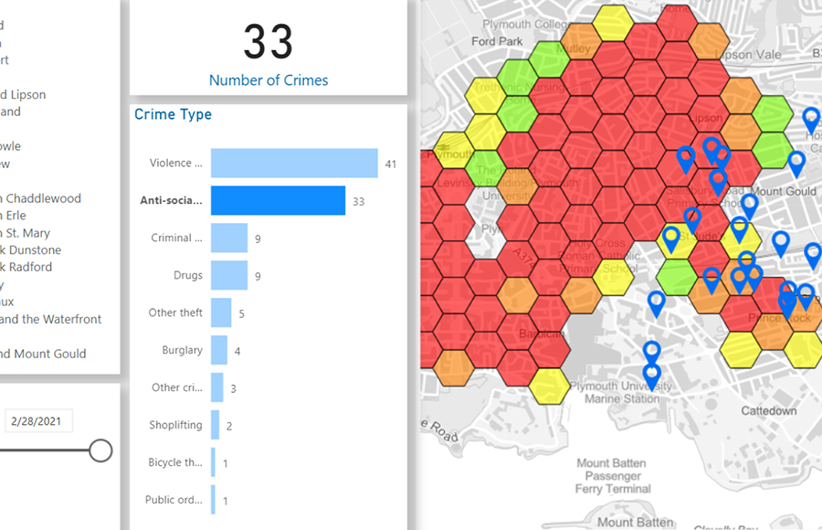
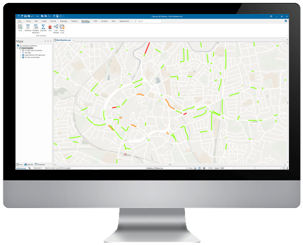
The graphical and geographical capabilities enabled by its close integration with SIS make the interpretation of modelling outcomes straightforward.
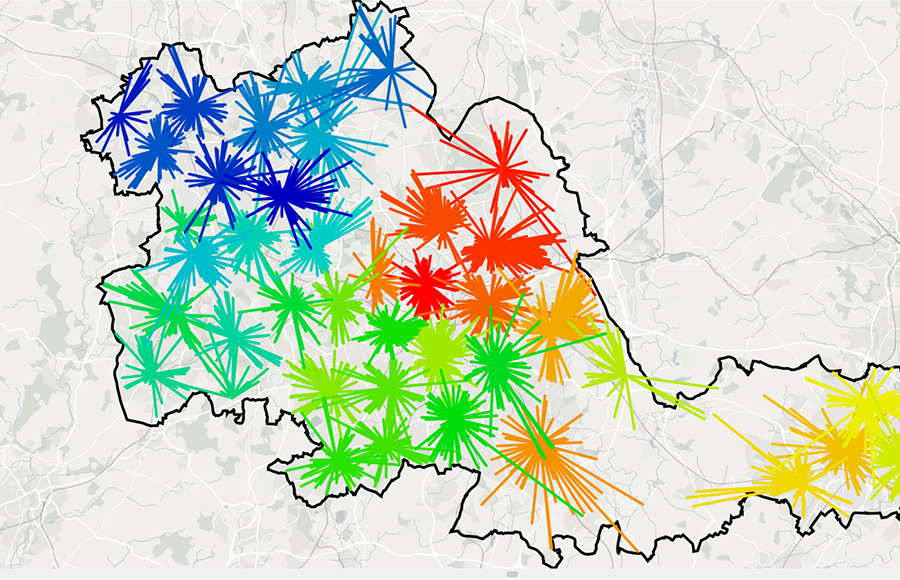
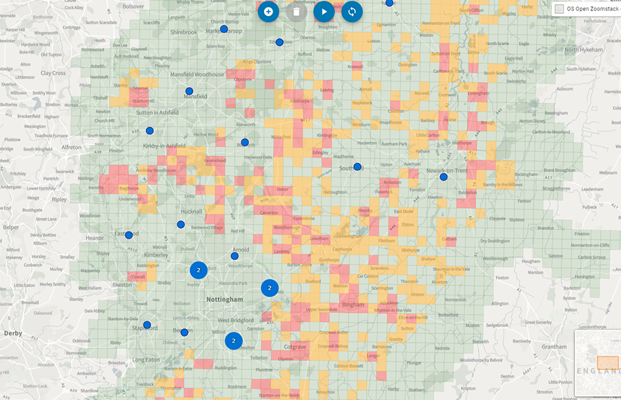
All risk modelling uses thematic mapping for the presentation of results. Pre-defined themes or heat maps quickly identify and compare risk between scenarios.
Evaluate the impact of various risk factors
Risk Modeller can create multiple risk maps based on historical data, projected data, and demographics, as well as changes to population distribution and transport links.
It can be used to test the impact of various risk factors and assist emergency services in both evaluating progress and planning its future direction.
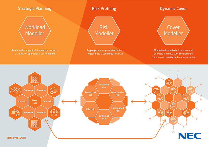
Related specialist modelling applications
Risk Modeller, Workload Modeller, and Cover Modeller are designed to be interoperable and can be integrated together or deployed as separate applications.
Workload Modeller is used for strategic planning, allowing emergency services to analyse the impact of demand or resource changes on operational performance. Cover Modeller allows control room personnel to test the impact of potential resource relocation and make informed decisions on cover moves.
Book a demo
Discover how NEC Geospatial Solutions can help your organisation connect data, improve decision-making and deliver better outcomes for communities.
Related products
Analyse the impact of demand or resource changes on operational performance.