
A wide range of organisations benefit from GIS and spatial analysis
Organisations in both the public and private sectors are using location to respond to service user needs and meet stakeholder requirements. They are using the power of geographic information in order to be better, faster and more cost-effective in what they do.
We work with public safety, government, housing and land management, energy & infrastructure, and finance & insurance to help them achieve their goals.
Improving public services, accessibility and performance

Geographic information is a vital strategic and operational resource for helping emergency and rescue services operate effectively.









Book a demo
Discover how NEC Geospatial Solutions can help your organisation connect data, improve decision-making and deliver better outcomes for communities.
Our family of geospatial products
Gain deeper insight into data with our extensive range of software, spatial data and services designed to better inform decision-making.
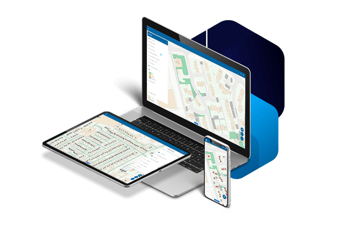
Our family of geospatial software, the Spatial Information System® – SIS – comprises desktop, server, web and developer products. This provides an integrated platform for managing spatial data from creation and analysis to application development, deployment and data sharing.
With our technical knowledge and expertise, we support organisations in realising the benefits of location information.
Easily accessible and user-friendly GIS and web mapping is essential. Our community of users benefit immensely.
Andy Heywood Interim Assistant Director (Head of ICT and Customer Contact), Preston City Council
For all phases of spatial data handling


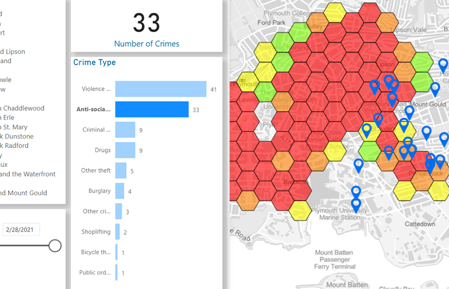
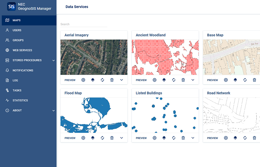





Optimise resource, protection, prevention and response
Analyse the impact of demand or resource changes on operational performance.
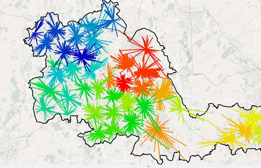
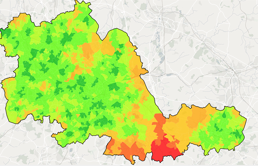
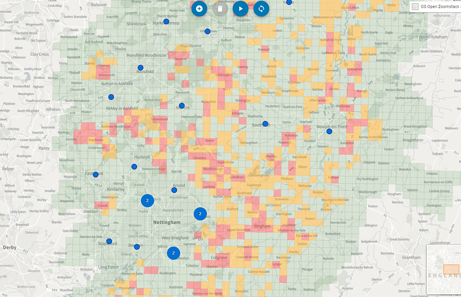
The GIS and fire service modelling applications allow us to incorporate the latest blue light analysis to allocate resources to risk and offer the flexibility we need for effective service delivery.
Austin Goreman Head of Planning and Performance, Norfolk Fire and Rescue Service
Software that supports specific requirements


Maximise the value of your geospatial investment
Professional services to support your geospatial strategy
NEC offers a broad range of business and technology services to support your organisation’s geospatial strategy. This encompasses system design to cloud-hosted managed services, from quality assurance to complex spatial modelling.
Our professional services are designed to help organisations gain deeper insight from data.