

Training that maximises knowledge retention
We offer a full range of GIS training courses to help you develop your knowledge and confidence in using our geospatial software.
With our instructor-led courses, you can participate and collaborate online and talk to the trainer and other students just like in the classroom. You can select from the scheduled online course dates below, or arrange an online or on-site course for your organisation.

Scheduled online courses
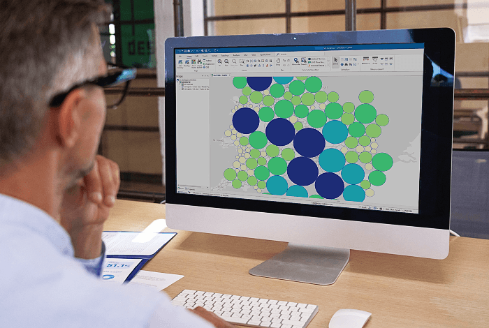
Introduction to SIS Desktop
29-30 September 2026
Duration: 2 days
Learn the basics for everyday use of SIS. Students are introduced to the basic concepts underpinning GIS and shown how to find a location, and view, create, edit and print maps. It will also introduce you to creating and managing your own files and extend your knowledge about creating and editing data.
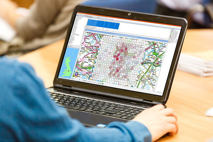
xd Hotspot Management
5-6 October 2026
Duration: 2 days
This course covers all analytical wizards within xd that are used to generate and analyse hotspots. Using tools such as Geotagging wizards, Criminogenic streets and Polygon hotspots delegates who attend the course will gain the necessary skills and knowledge to work with hotspots in xd.

xd Basic Mapping
6 October 2026
Duration: 1 days
This course is designed for new or inexperienced users and will provide a strong foundation of the xd Mapping solution. The course will include an explanation of common terminology, how coordinates systems and maps are used and how to navigate xd. Using real life scenarios and exercises delegates will gain hands on experience of creating and displaying user defined data.

SIS Desktop Administration
13 October 2026
Duration: 1 day
This course will enable a SIS user to administer the product and its associated files and manage the GIS data for their organisation. The content builds upon Day 2 of the Introduction to SIS Desktop course. System Administrators will learn how to export data into useful GIS file formats and about the best-performing formats for SIS.

SIS WebMap Administration
14 October 2026
Duration: 1 day
This course details the functions of SIS WebMap and introduces students to GeognoSIS®. The course provides the background required for administering and maintaining the webpages, including SWD data setup and implementing Local Knowledge™ searches.
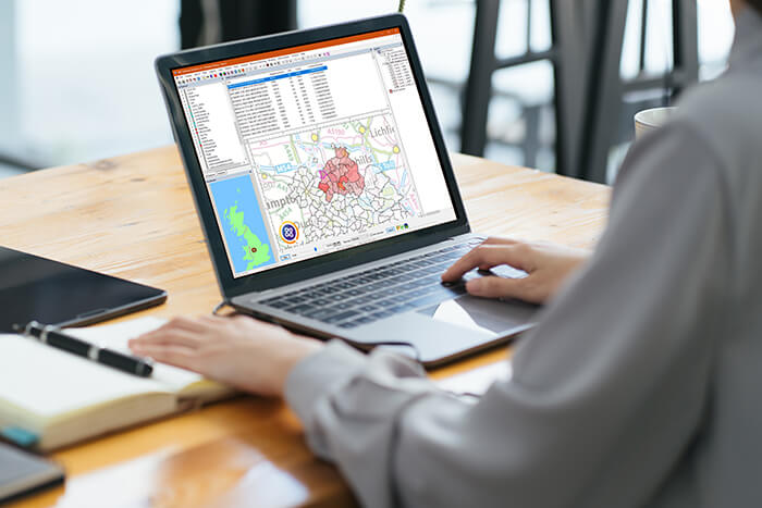
xd Analysis
21-23 October 2026
Duration: 3 days
This course provides a comprehensive overview of the analytical features contained within xd. Delegates will gain practical experience of generating hotspots and using wizards to analyse and create links between data points held within the application. This hands-on, instructor led course provides users with the skills required to use xd for reporting and planning.

Advanced SIS Desktop
3-4 November 2026
Duration: 2 days
Build upon the knowledge gained from attending the Introduction to SIS Desktop course. This training takes an in-depth look at how to filter, combine, and question your spatial data. Advanced methods of displaying your data by using functionality such as Advanced Thematic Maps and Process themes will be explored. You will learn how to produce a video output of a Temporal range of data and use the 3D mapping functionality.
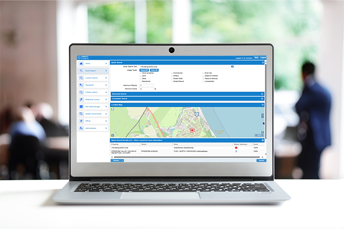
Compass Introduction
10-11 November 2026
Duration: 2 days
The Compass Maintenance Application tool is designed to help users create, manage, search, and retrieve information related to gazetteer-based locations. Throughout this course, users will gain hands-on knowledge of key Compass functions and features, including importing bulk data from external systems, merging locations, creating and managing user roles, performing audits, and adding profiles and usage types to effectively organise location data within Compass.
SIS & Ordnance Survey GB Data
24 November 2026
Duration: ½ day
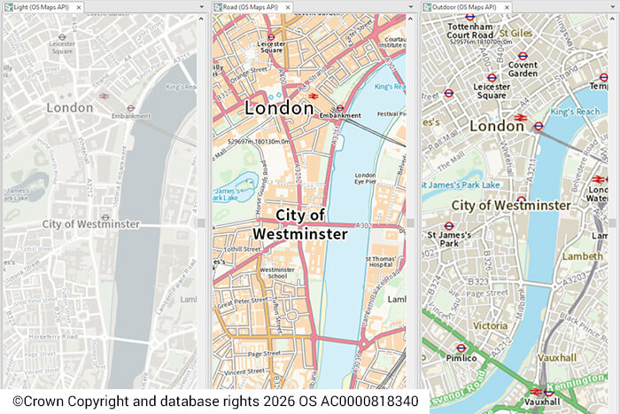
This course introduces students to Ordnance Survey® (OS) data using SIS. It provides an insight into accessing and managing the OS GB major datasets. You will explore how to use SIS Desktop for data management – to process the various OS datasets such as ZoomStack, Mastermap, Open Greenspaces etc. In addition, you will gain an understanding of how to access the OS Data Hub from within SIS Desktop and SIS WebMap using Web Map Services and OS API keys.
SIS Desktop for Crime and Incident Analysis
25 November 2026
Duration: 1 day
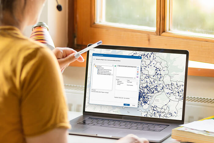
This course will enable a SIS Desktop user to build upon the knowledge acquired in the Introduction to SIS Desktop course. You will take an in-depth look at how to use a range of methodologies to identify and analyse patterns in crime and incident data.
Book your place
For pricing and to register your interest in our training courses, complete the form.