

Centralising and enhancing location intelligence
Gazetteers are used across a range of industries to provide place names, coordinates and descriptions that help give a detailed source of location information, often visualised on a map by integrating with GIS mapping software.
In the context of the Emergency Services, they are critical in helping to quickly identify and locate places, ensuring swift action during incidents, route-planning, mapping out areas to allocate resources efficiently and in the strategic planning of responses to various scenarios that can be tested in training exercises.

Benefits of NEC Compass as a single central data source
Augment, edit or store information for individual locations
Download our Latest Guide
NEC Compass gazetteer provides a central repository for all your location based data, recording the history of locations over time
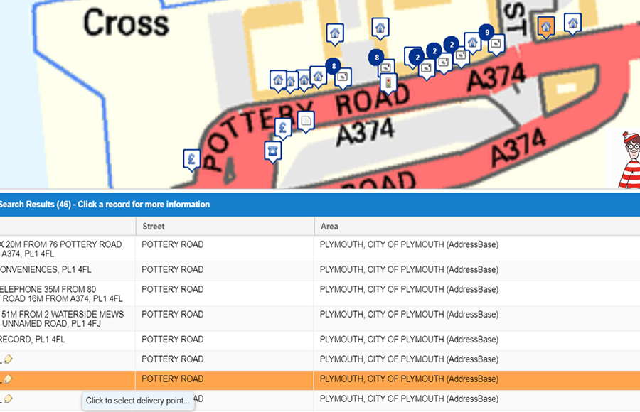
The single source of location data for your service
NEC Compass is a reliable and central repository for location data, designed to conveniently integrate location data from national and local sources, enabling consistent handling across your organisation.
When it comes to augmenting, editing or annotating location data, NEC Compass is straightforward. It allows users to effortlessly edit and annotate locations, making it simple to customise and update information, whether you are adding new details, correcting inaccuracies, or providing additional local context.
NEC Compass empowers you and your organisation to manage your location data effectively and integrate with national data sources
Book a demo
Discover how NEC Geospatial Solutions can help your organisation connect data, improve decision-making and deliver better outcomes for communities.