

Geospatial web services engine for developing and deploying web applications that use maps and other geographic information
GeognoSIS® makes the wide-ranging functionality of SIS available over the web for interactive mapping applications, or over a corporate intranet or extranet for enterprise-wide deployment of GIS applications and mapping services.
It can publish maps to any system that accepts OGC®, Microsoft Bing Maps and Google Maps services.

Access the full power of SIS
GeognoSIS can form part of a Service Oriented Architecture (SOA) and is a Microsoft Windows Service that responds to requests from application code.
GeognoSIS provides access to the full functionality of SIS via a comprehensive API. This offers a number of benefits, including running simple spatial queries to complex GIS analysis, direct reading of data sources without translation, a familiar development environment, and a flexible deployment capability ideal for distributed applications running in multi-processor, multi-server environments.
GeognoSIS-based applications can be delivered as ultra-thin clients and is immediately accessible in any HTML browser without any special browser plug-ins.
Browser-based responsive app for the management of services and data
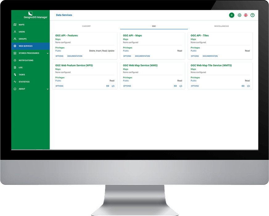
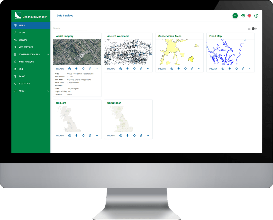
GeognoSIS Manager is used by GeognoSIS for the management of data and services. It provides access to configure all aspects of GeognoSIS including:
- Data Previews
- Security
- Multiple GeognoSIS Instances
- Certificates
- Cross Origin Resource Scripting (CORS)
- Processor Affinity and Multi-Threading
- Stored Procedures
- Notifications
- Logging
- Statistics
It offers a range of mapping services including OGC WMS, WFS and WMTS, Bing Maps and Google Maps.
Book a demo
Discover how NEC Geospatial Solutions can help your organisation connect data, improve decision-making and deliver better outcomes for communities.

