

Map and data services
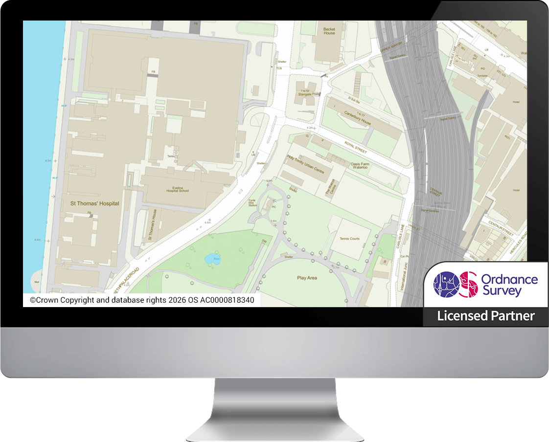
NEC partners with data suppliers to license a wide range of spatial data. This incorporates all Ordnance Survey® products, including OS MasterMap®.
Data can be provided in popular GIS formats and as cloud-hosted web services.
All map updates are applied by NEC as part of the service.
Hosted, managed and maintained maps
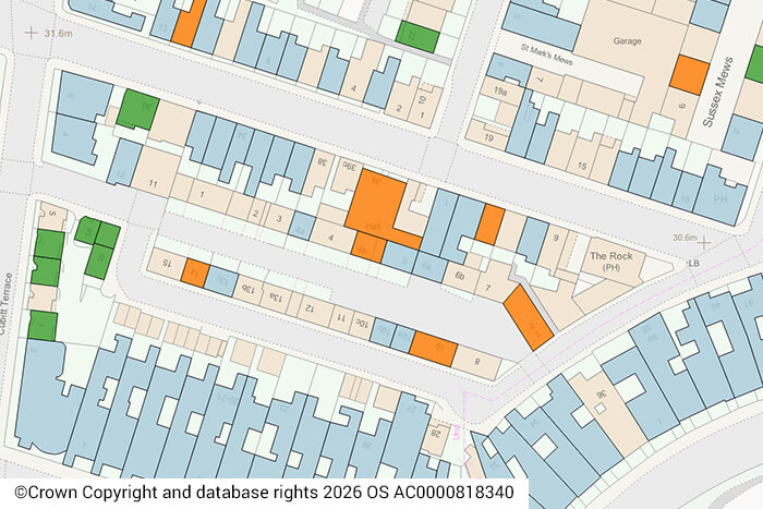
Open and premium maps are provided directly to your GIS or web mapping application as a Web Mapping Service (WMS) and Web Mapping Tile Service (WMTS).
All map updates are applied by NEC as part of the service.
Direct data access from a secure NEC data store
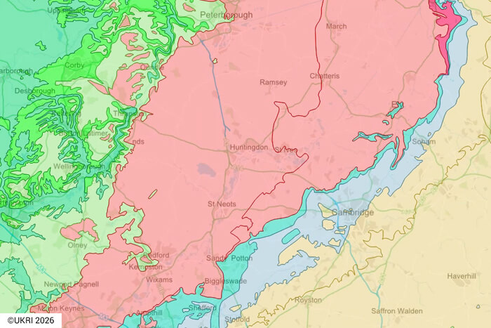
A central location for numerous datasets from multiple organisations. Open data suppliers include: British Geological Survey; Department for Levelling Up, Housing and Communities; Environment Agency; Historic England; Natural England; Historic Environment Scotland; NatureScot; Cadw; Natural Resources Wales; Welsh Government; and Ordnance Survey.
In addition, NEC offers an EPC Data Service as a standalone product.
Request a spatial data quote
Find out how our cost-effective spatial data services can help your organisation make more informed decisions, with service levels designed around your business needs.