

Allow developers, agents, and site promoters to suggest sites for future development online
Call for Sites is a digital site-submission application that accelerates site assessment analysis. The package includes a web map with Ordnance Survey® (OS) background mapping, a GIS database and document storage. It offers numerous integration options and is deployed as a cloud-hosted service, allowing councils to onboard quickly and easily.
The application allows landowners, developers, agents, and site promoters to suggest sites considered to have the potential for future sustainable development. This can include sites for housing and employment, community facilities, habitat creation and biodiversity enhancement, and infrastructure.
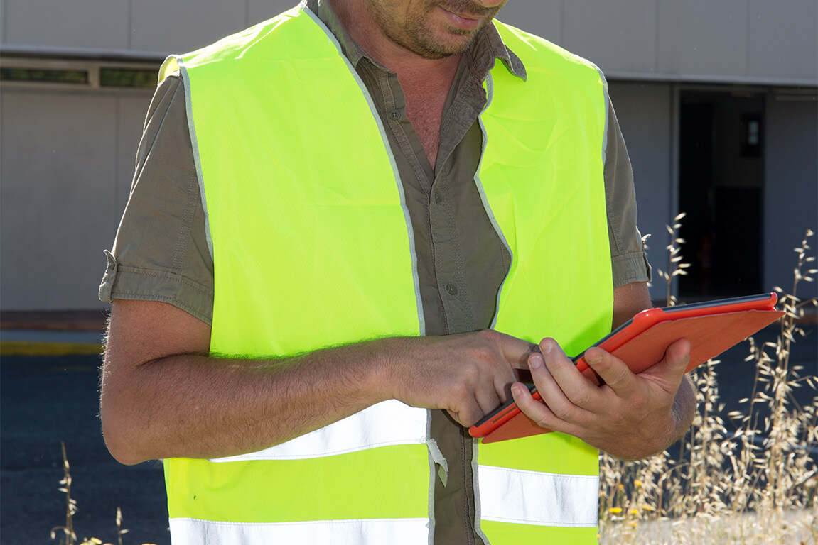
“The Call for Sites application has saved us on average, 6 hours in staff time per site submitted.”
Claire Sime Service Manager – Planning Policy, Design & Conservation East Herts District Council
Transform how residents, applicants and planning professionals engage with the planning system
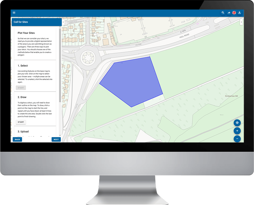
The Call for Sites application simplifies the site allocation process by allowing site proposals to be submitted online.
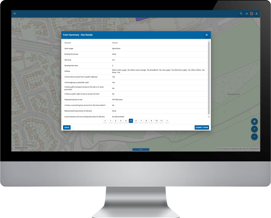
The submission is started by selecting or drawing an area on a web map or by uploading a GIS file. Site details are inputted in an application form, which can be sent electronically with supporting documentation.
Better equip planning teams
Once a site has been submitted, the planning department will receive a notification. Submissions are recorded in a database and can be viewed and interrogated by a GIS. Using existing geospatial data, the planning team can assess the suitability of the land use change.
Functionality includes visualising data, document storage and viewing.
Support faster and more transparent planning decisions
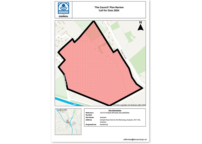
Results can be generated into a standardised PDF report with customisable branding, along with a map showing the search item, its surrounding area, and site information. This report can be used to inform planning officers, public officials, and other stakeholders of the potential impacts of a site allocation and its viability.
A summary can also be created for public viewing, enhancing transparency in the planning decision process.
Book a demo
Discover how NEC Geospatial Solutions can help your organisation connect data, improve decision-making and deliver better outcomes for communities.
Related products
Share spatial data and GIS functionality within a user-friendly browser interface.



Streamlining the Call for Sites process with GIS
Catch up on our webinar about the Call for Sites process and how NEC Geospatial Solutions can help your local planning team.