
Spatial insight to strengthen underwriting decisions
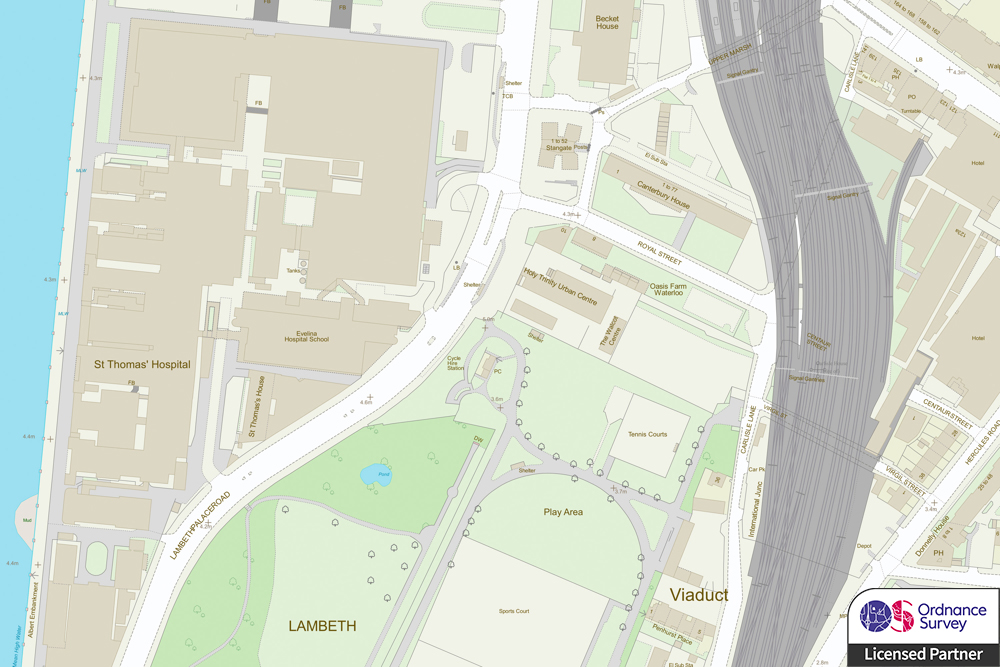
Location is a good predictor of risk. By bringing together the location of both assets and hazards, insurers are better equipped to set fair and competitive premiums and evaluate their exposure to risk.
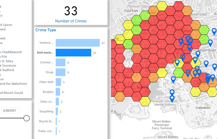
Spatial analysis is central to modelling and provides capabilities for real-time reporting and information sharing. It is especially beneficial for accumulation analysis, perils management, reporting, claims management and the detection of fraud.

GIS for Finance & Insurance




Book a demo
Discover how NEC Geospatial Solutions can help your organisation connect data, improve decision-making and deliver better outcomes for communities.
How we can help
Business and technology services to support your geospatial strategy
NEC offers a broad range of business and technology services to support your organisation’s geospatial strategy. This encompasses system design to cloud-hosted managed services, from quality assurance to complex spatial modelling.
Our professional services are designed to help organisations gain deeper insight from data.