
Perform spatial searches on numerous datasets, and display the results in a formal report
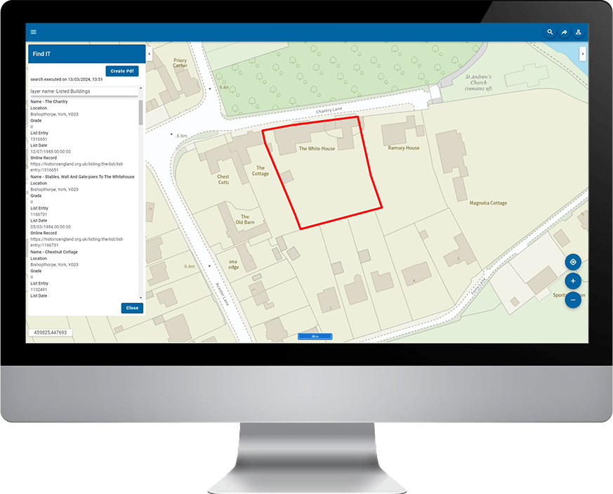
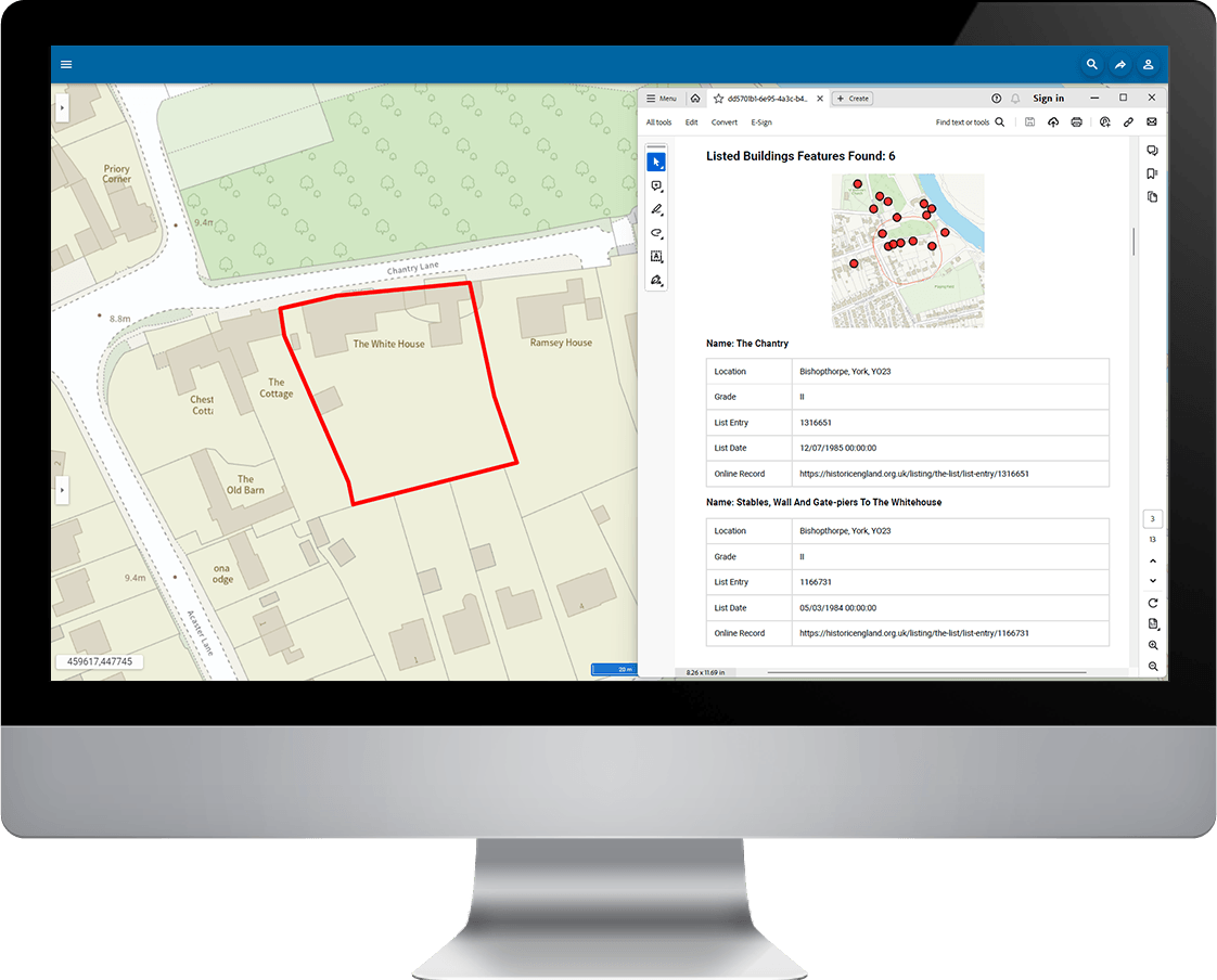
FindIT is an add-in to SIS WebMap and provides a simple way to query a large number of data layers (typically planning constraints), by user-defined area. Results are available for viewing on screen and can be downloaded as a PDF with a map.

Familiar search features of SIS WebMap
As FindIT works in SIS WebMap, it offers a number of options for defining the search area. The user can either draw an area freehand, select an existing feature, or an OS MasterMap polygon (for example, a building outline).
Provide numerous users with access to relevant searches information with the option to share a standardised report
FindIT allows users to search a large number of datasets, even if stored in different directories. Running the search will find all features that touch, overlap, or are completely within the drawn polygon.
Results are presented in a standardised report with a map displaying the search item and its surrounding area.
Results are also recorded along with the search item geometry in SQL Server, Oracle or a PostGIS spatial database. Public and internal access to data can be controlled and multiple maps can be created for different searches.
Book a demo
Discover how NEC Geospatial Solutions can help your organisation connect data, improve decision-making and deliver better outcomes for communities.
Related products
Share spatial data and GIS functionality within a user-friendly browser interface.