
Publish location-based intelligence in a visual and engaging way
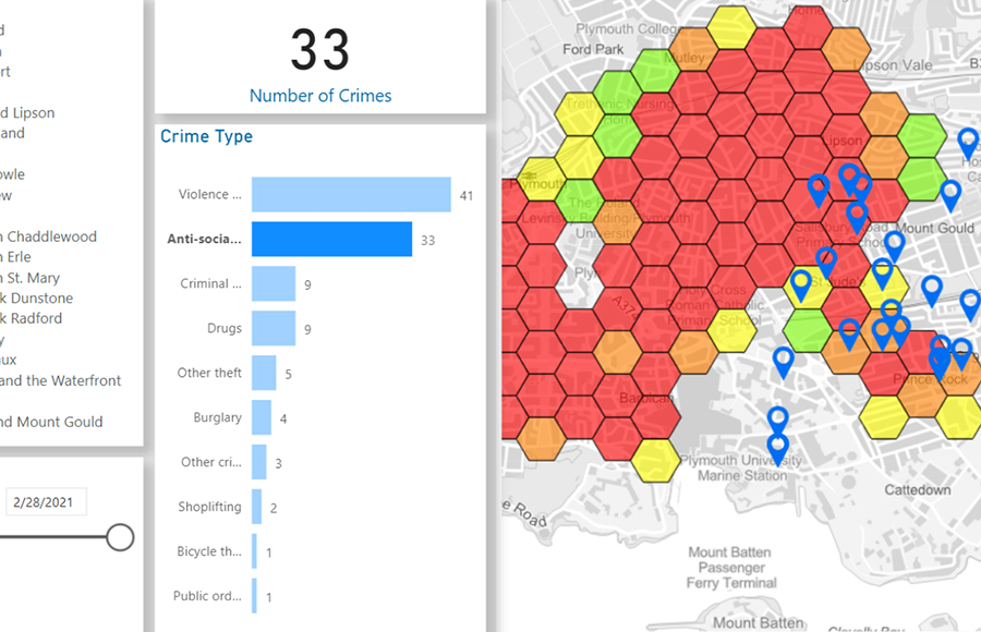
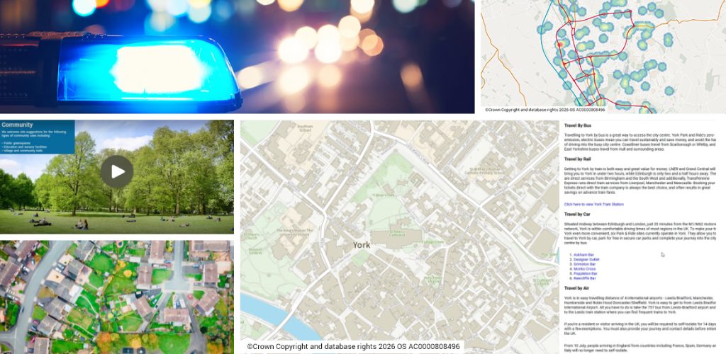
Mapestry™ is an intuitive, content-driven application that transforms your narrative into an interactive experience. It works by combining maps, images, video and text to create a dynamic online platform for information sharing. It enables location-based intelligence to be published to a wider audience in a visual and engaging way.

Convey spatial insights more effectively
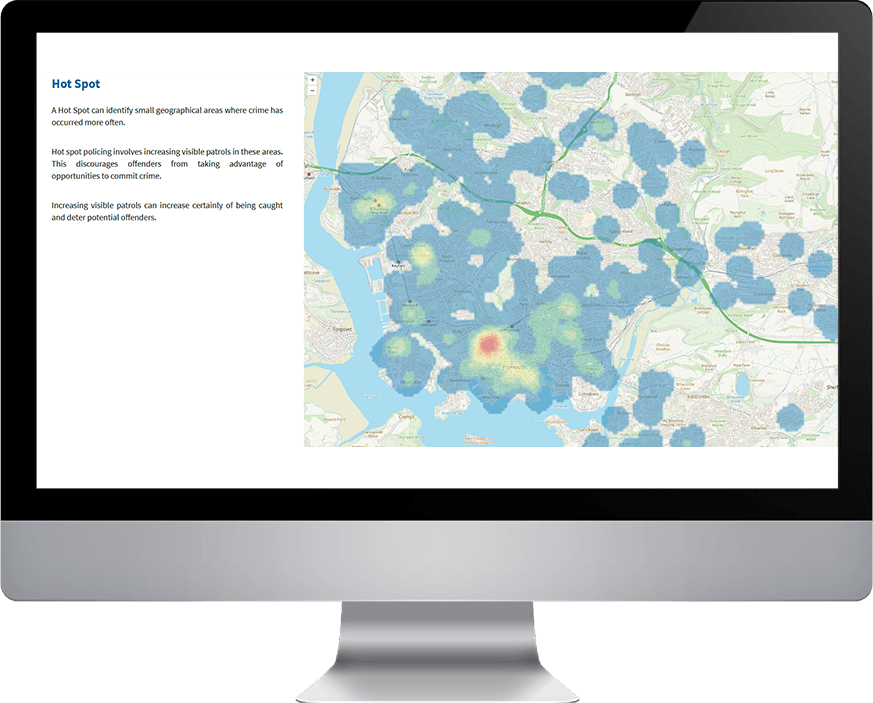
Mapestry provides an enhanced user experience that makes geographic data presentation accessible to everyone. The responsive interface clearly and interactively communicates location intelligence. It’s a lightweight platform that works smoothly across desktop and mobile devices, making it simple to create and share information within the context of location.
Easily build a visual, interactive platform for information sharing
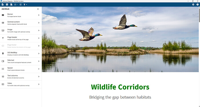
Mapestry offers various “building blocks” to create, save and publish unlimited web pages with minimal programming knowledge. It includes many design options, such as elements for adding content, actions and triggers, and customisable themes. This generates web page content that links location-based text,images, and videos to embedded, interactive maps.
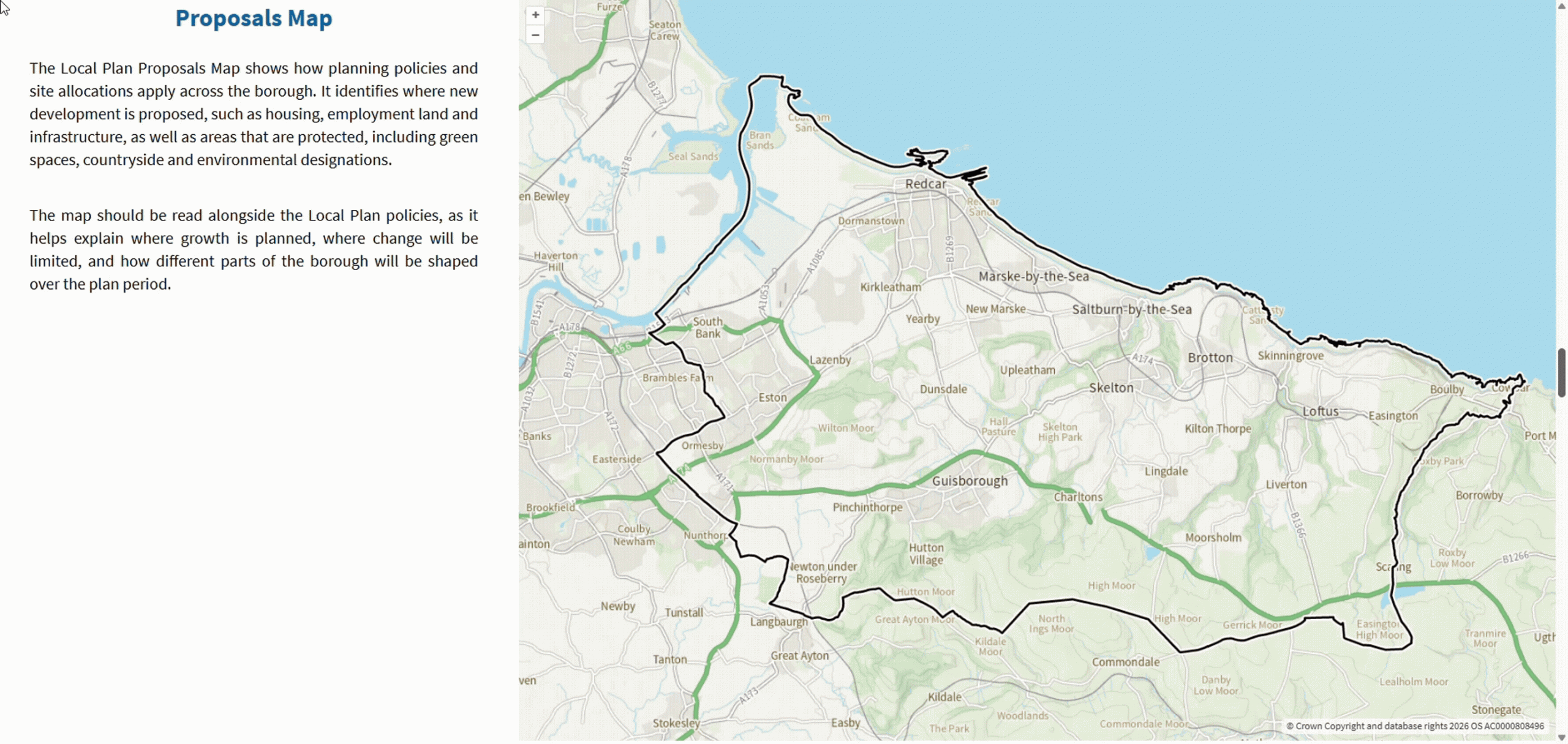
Enhanced user experience
Mapestry has been designed as an easy-to-use responsive web page. Actions and triggers are engaged as the page is scrolled, providing a dynamic experience. Trigger and actions include pan to location, zoom, hide layer, show layer and show marker. Map interaction supports navigation, layer switches and view feature information.
Connect more effectively with stakeholders and the wider community
Text-heavy documentation can be transformed into a visually appealing, portable web page that can be shared via a single, easy-to- share URL, making location-based information available to everyone. Use cases range from communicating public consultations and local planning to community risk management and housing programmes. Its scope extends across all areas that require interactive stakeholder engagement.
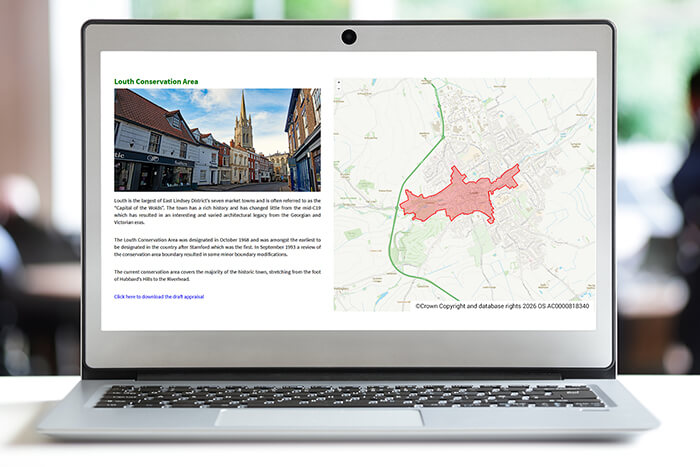
Mapestry use cases
Government
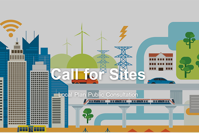
Better convey information on planning policies, Local Plan public consultations, highways and transport, and environmental projects.


Book a demo
Discover how NEC Geospatial Solutions can help your organisation connect data, improve decision-making and deliver better outcomes for communities.
Related products
Share spatial data and GIS functionality within a user-friendly browser interface.