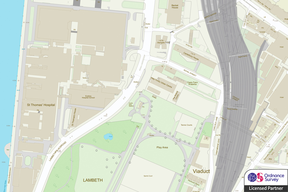

Location intelligence for smarter investment
A variety of industries rely on location information to support their operations, including utilities, engineering, transport, logistics, energy and marine.
NEC provides spatial data, GIS software and consultancy services that help better inform planning and investment.

Integrated family of geospatial software
GIS for Energy & Infrastructure


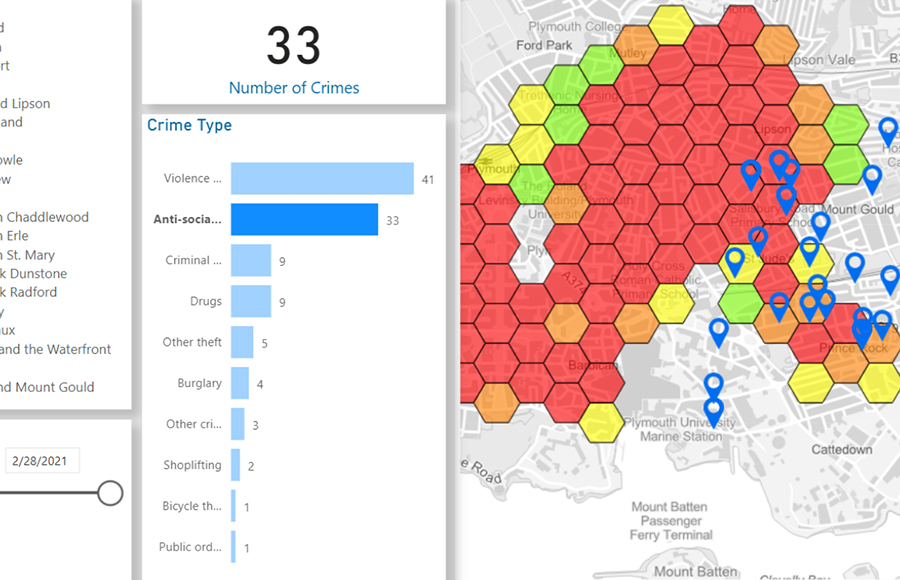


Book a demo
Discover how NEC Geospatial Solutions can help your organisation connect data, improve decision-making and deliver better outcomes for communities.
How we can help
Services
Business and technology services to support your geospatial strategy
NEC offers a broad range of business and technology services to support your organisation’s geospatial strategy. This encompasses system design to cloud-hosted managed services, from quality assurance to complex spatial modelling.
Our professional services are designed to help organisations gain deeper insight from data.